Getting Acquainted with Ladakh
Ladakh is truly the ceiling of the world. Ladakh boasts of the highest motor-able road and the two highest passes in the world. Sometime its feels like one can reach up and touch the clouds. This mountain Kingdom in Jammu and Kashmir state of India is a land of high altitude deserts, sweeping panoramas, alpine lakes and magical light. Here I share with you my experiences during my photography trip to Ladakh during August 2016.
Lamayuru Monastery, Ladakh
Canon 5D mark iii, 70-20mm f2.8 L IS II , 1/640 sec @ f5.6
Ladakh is truly the ceiling of the world. Ladakh boasts of having seven of the top twelve highest motor-able roads in the world. Sometime its feels like one can reach up and touch the clouds. This mountain Kingdom in Jammu and Kashmir state of India is a land of high altitude deserts, sweeping panoramas, alpine lakes and magical light. Here I share with you my experiences during my photography trip to Ladakh not too long ago so that you might plan your Ladakh trip better.
Getting There
Leh is the main gateway to Ladakh.
By Air
Kushok Bakula Rimpochee Airport is the main Ladakh Airport at Leh. It is operated by the Indian Military but receives Civilian Flights too. Air India, Indigo Airlines, Jet Airways, SpiceJet, Go Air, Indian Airlines,Jet Konnect and Air India Express all have services to Leh. Flying into Leh is the most convenient way to get there.
The other popular options are to fly into Srinagar or Manali and to drive from there. Both Routes are very scenic and take you through some of the highest passes in the world. Both routes are between 400 and 500 kms long and can take 20 to 24 hours.
Leh-Srinagar Highway
Canon 5D Mark iii, Canon 17-40mm f4 L @ 17mm, f11 1/200 sec ISO 100
By Road
Best time to travel to Leh by Road is during the summer months from May to September. Roads are mostly closed rest of the year to landslides or snowfall. You can travel to Leh Via New Delhi and Chandigarh.
By Rail
The Nearest Rail head is Jammu Tawi Which is 700 km from Leh. You can then travel by Jeep or Bus from Jammu Tawi.
Leh Valley, Ladakh
Canon 5DSR , 70-200 f2.8 L IS II, 1/60 SEC @ f11, ISO 400
Where to Stay at Leh
Leh is a good place to stay for a couple of days to get acclimatised to the high Altitudes of Ladakh. Leh offers more creature comforts than any other location. Once you leave Leh things tend get very basic and sometimes really rough. There are plenty of options for stay at Leh. Here are a few listed below.
Luxury
Budget
View of Namgyal Tsemo Monastery from Shanti Stupa
Canon 5DSR , 70-200 f2.8 L IS II, 1/800 SEC @ f8, ISO 400
Places of Interest at Leh
Shanti Stupa
Thiksay Monastery
Leh Palace
There are also a number of cafes and restaurants that serve really tasty food to explore and experience at Leh.
Away from Leh
Here are some of the places that present nice photo ops. As a Landscape photographer I am always looking to get out of the city and into nature but some of the other locations also present interesting photographic opportunities.
Lamayuru Monastery
Alchi Monastery
Pangong Tso
Tso Moriri
Khardung La Pass
Nubra Valley
Kargil
Aryan Valley
Lamayuru Monastry
View from Lamayuru Monastery
Young Monk at Lamayuru Monastery
Zanskar River
At the Confluence of Zhanskar and Indus Rivers
Kargil
Cloud Burst Near Kargil
Canon 5DS-R, 17-40mm f4L, 1/400 sec @ f8 ISO 100
Cave Monastery near Kargil
TSO KAR
The Tso-Kar Lake is one of the three high altitude salt water lakes in Ladakh.The Tso-Kar Lake is known as 'White Lake' because the white salt of the water deposits all over the lake shores. Tso-kar Lake is about a ninety minute drive from Tso-moriri Lake.
The area surrounding Tso-kar lake is rich with wildlife and birds. The most easily spotted mammals here are Kiangs, the largest of the wild asses. I spotted a lovely pair of the wild asses during my trip . The hills and mountains around Tso Kar are also home to ibex, snow foxes and snow leopards. Surrounded by hills and mountains on all sides, the lake with its unique colouration and the pinkish tint of the soil surrounding the lake make for amazing landscapes.
Gravel Road Past Tso Kar Lake
Canon 5D Mark iii, 17-40mm f4 L, 1/250 sec @ f8, ISO 100 *copyright Kamal Chilaka All rights reserved
Prayer Flags at the More Plains near Tso Kar
People of Ladakh
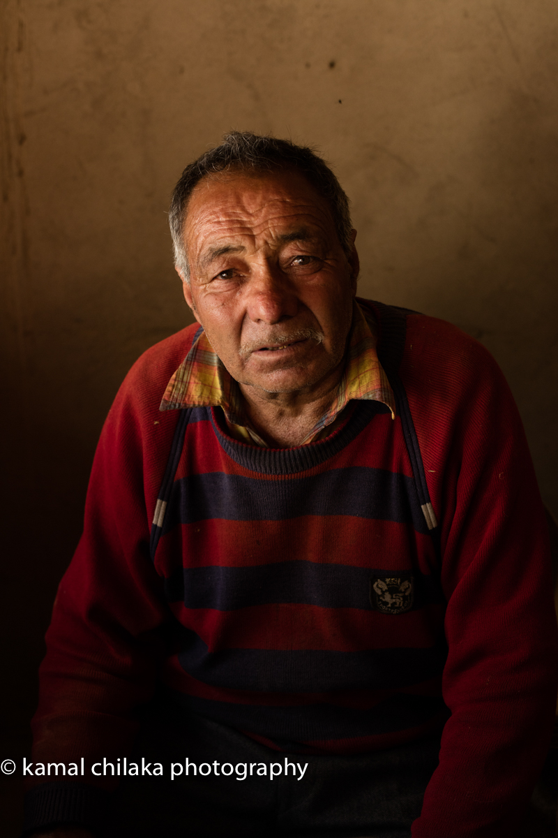
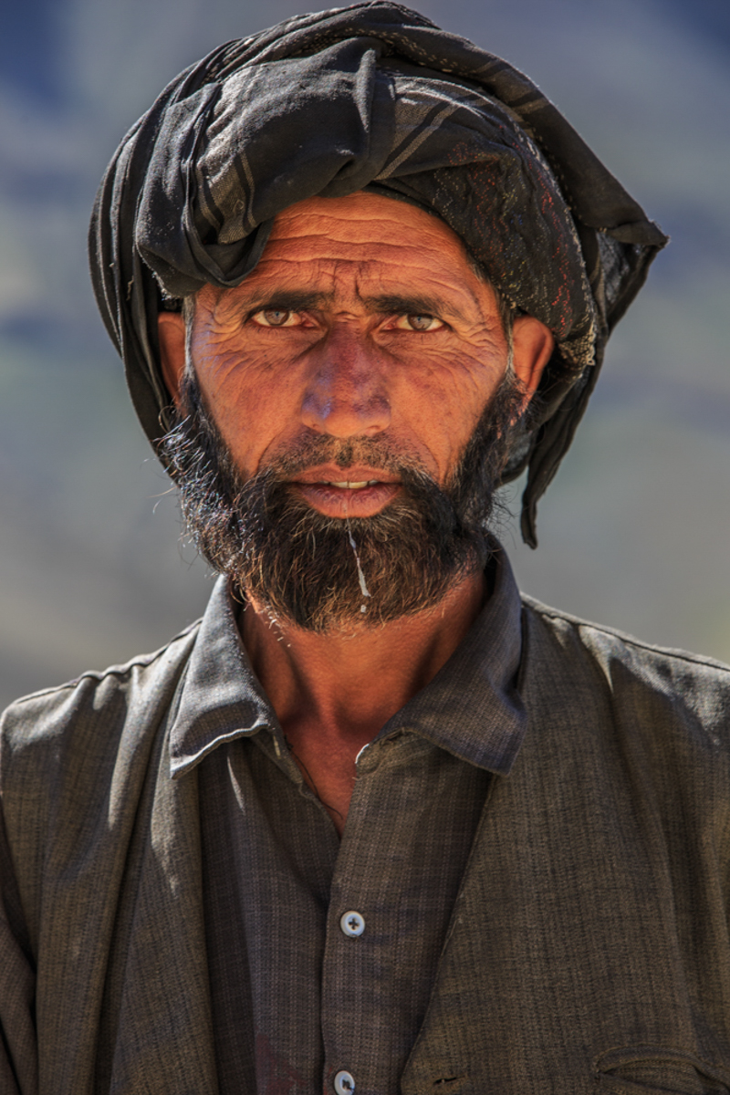
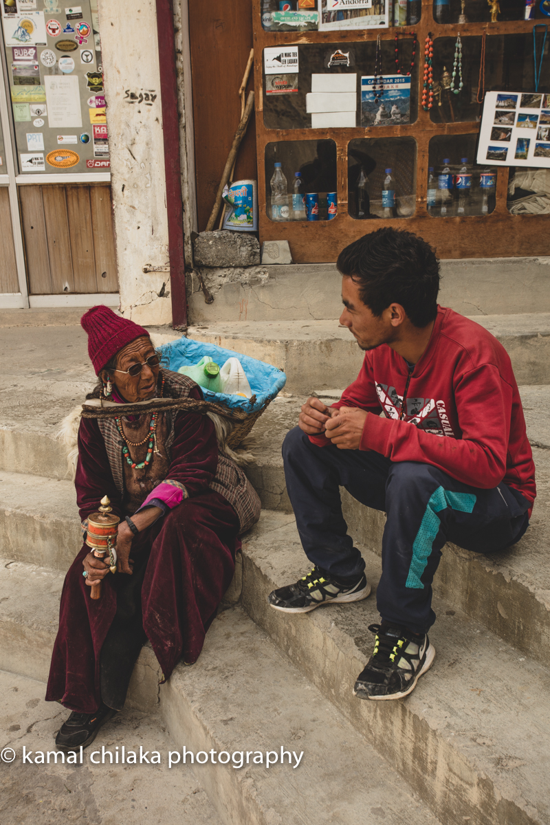
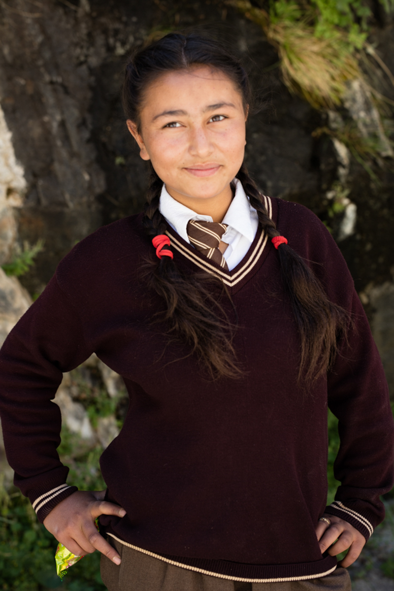
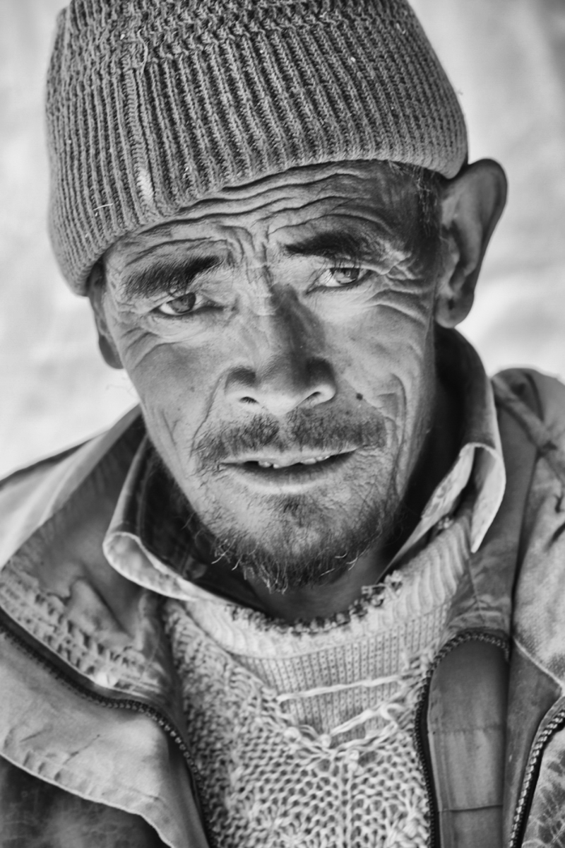
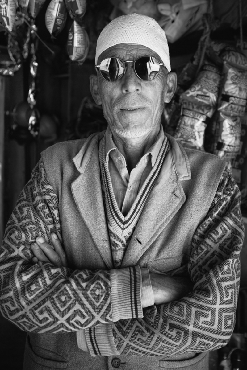
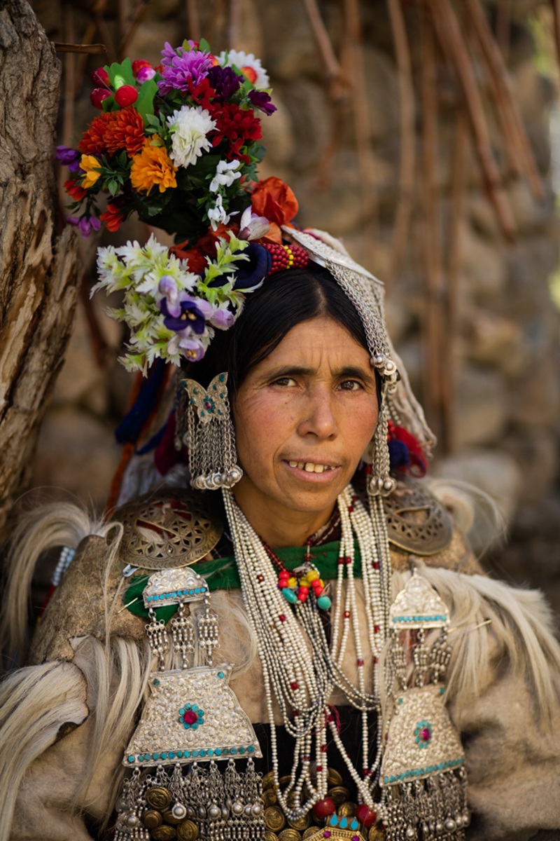
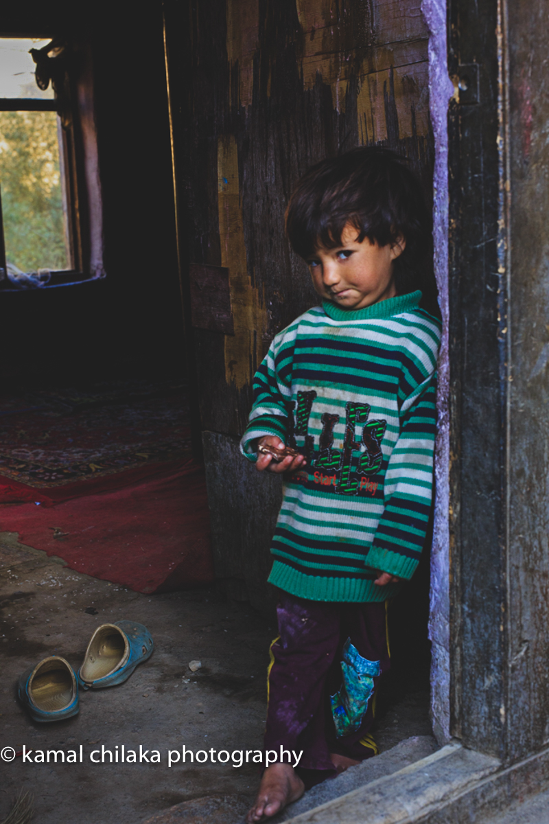
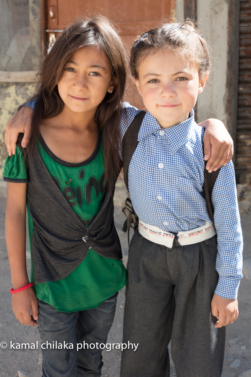
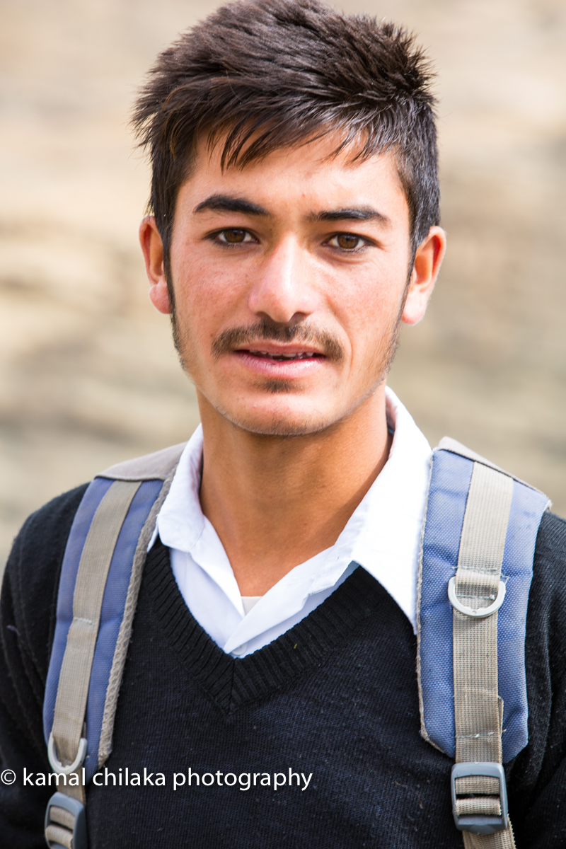
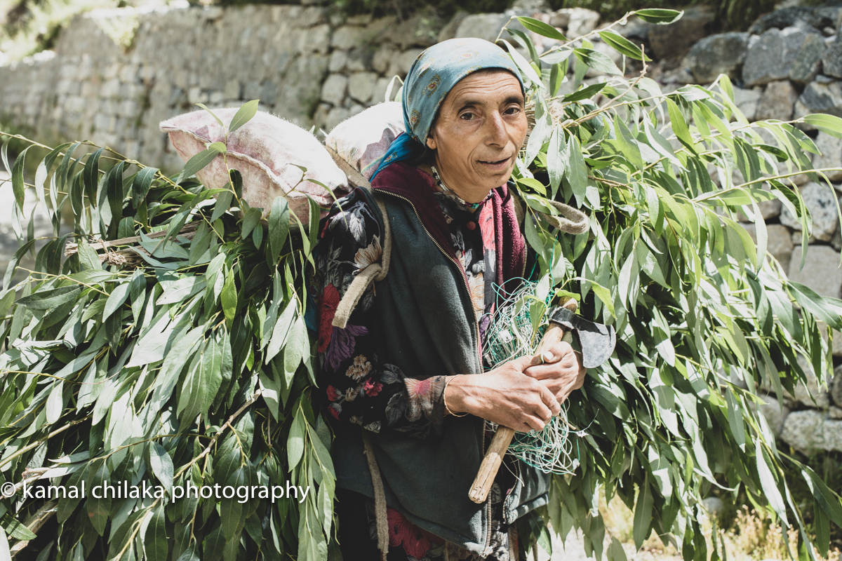
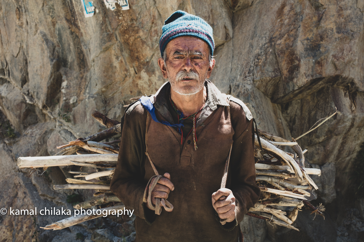
Ladakh is an eclectic mix of people of Indo-Aryan and Tibetan ancestry. Tibetan Bhudhists, Shia Muslims and Hindus form the majority of the population. The different cultures mostly manage to live together in peace but there have been bloody clashes from time to time. People of Ladakh are used to tourists and are usually friendly and take time to stop for a chat if approached. They live with scarce means in very harsh mountain environs but have a healthy attitude towards life.
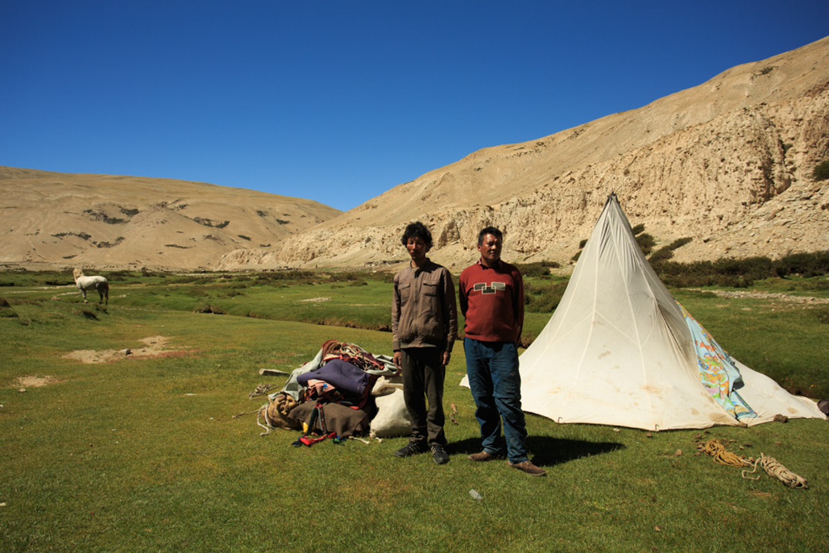
Nomadic Tribesmen of Ladakh who keep moving to where the pastures are green.
Roadside Tea Stall. Like the Ornamental Tea Flasks.
Shades of Tso Moriri Lake
Tso Moriri Lake is situated in the middle of the elevated district of Rupshu. The Rupshu valley lies south east of Ladakh on the road from Manali to Leh at altitude ranging from 16,500 feet. The drive from Leh to Tso Moriri takes about 7 to 9 hours. This pretty valley is inhabited by a small population of ‘Changspa’, who are nomadic shepherds. We arrived at Tso Moriri just before sunset and got to see the lake during golden hour. The blue of the Lake seems to get even more vibrant when the sun is at a low angle. The surrounding mountains glow with a golden glow while the water of the lake turns deep blue just before sunset.
Tso Moriri at Dawn
Tso Moriri is also a good site to do astro photography from as there isn’t much light pollution in the area.
Tso Moriri lit up by moonlight.
I was up shooting till late at night and up again on the roof of a hut by 5 am to capture the landscape by the predawn glow. As the sun rises it bathes the shores of the lake with warm light that brings out the greens and blues in the surrounding landscape.
By late morning the light is too harsh to do much shooting except maybe closeups near the waters edge at certain angles with a polariser.
Tso Moriri late morning.the largest of the high altitude lakes entirely within India and entirely within Ladakh in this Trans-Himalayan biogeographic region.
The challenge is to be able to brave the lack of oxygen at the high altitude of over 16000 ft above sea level at this lake. This was the only point where I struggled during the trip. Make sure you or your tour group has oxygen available in case of an emergency.
Tso Moriri at Pre Dawn
Taglangla Pass
Taglang La, elevation 5,328 metres (17,480 ft), is a high mountain pass in Ladakh region of the Indian state of Jammu and Kashmir. As of August 2014, the Leh-Manali highway leading south from Upshi to Tanglang La is paved, with the exception of a very short unpaved section just north of the pass. The pass itself is paved. On ascending the pass from Moore plains the road is well paved too with occasional streams crossing.
Roadwork on at Taglangla Pass. Worlds 2nd Highest Motor-able Pass after Khardungla Pass
The elevation in metres, which is taken from a local sign, is in agreement with SRTM data. The sign claims 17,582 feet, which would be 5,358 metres, and claims to be the world’s second highest motorable pass. The claim is no longer accurate however, and is actually the 12th highest motorable pass. Checkout this article on the worlds highest passes here.
Road Worker at Taglangla Pass. 17,480 ft above sea level.
You just have to tip your hat to the BRO(Border Roads Organization) which maintains these roads in India and the road workers who brave the fluctuating elements in less than ideal clothing and work to ensure the roads are well paved and accessible for both tourists and the army which has a strong presence near the borders.
My Gear For This Trip
Gura Gear Battaflae 32 L Camera Backpack
Canon 5D Mark iii (The 5D Mark IV has now replaced the well used 5D Mark iii in my camera bag)
Canon 5DS-R
Canon 17-40mm f4 L Wide Angle Zoom
LaCie Rugged Mini 1TB External Hard Drive (Orange)
San Disk and Lexar CF and SD cards
Things to be aware of and prepare for
Altitude sickness describes several symptoms that happen to your body when you’re exposed to a higher elevation within a short period of time. Best way to avoid altitude sickness is by climbing slowly and taking two to three days to reach your highest altitude specially when you care going to elevations higher than 10,000 ft above sea level.
If you are planning to fly into Leh starting to take Diamox 2 days prior to travel can help alleviate the problem. Consult your doctor whether you can take Diamox and how often. I didn’t take any Diamox prior to travel and once I reached Leh I could barely get out of bed for the first 24 hours. It took me about 3 days to get acclimatised to the elevation.
Lack of proper Sanitation outside Leh and Kargil and Dedicated Camp Sites
Carry All the medicines you might need for such a trip. Carry first aid kit too.
Border Area with high Army Presence - Permits may be required to visit and shoot in certain areas
Ladakh kinda feeling
Ladakh is a once in a lifetime trip for some but for many it is a place that beckons often be it for for photography with its expansive landscapes, great light or for enjoying the rugged outdoors or to find peace at a Buddhist Monastery. I for one am definitely going back one day soon to explore further what I discovered during that late summer trip.


